

The National Water Commission (Conagua) reported that a significant increase in rainfall will occur in much of Durango over the next few days. The forecast warns of the arrival of very strong storms, accompanied by lightning, that could cause complications in various regions of the state.
For Tuesday, September 2, moderate to very heavy rains of 5 to 50 millimeters are expected in the western mountains and northern municipalities, while the rest of the state, including the capital city, is expected to see light to moderate rainfall of 0.1 to 10 millimeters.
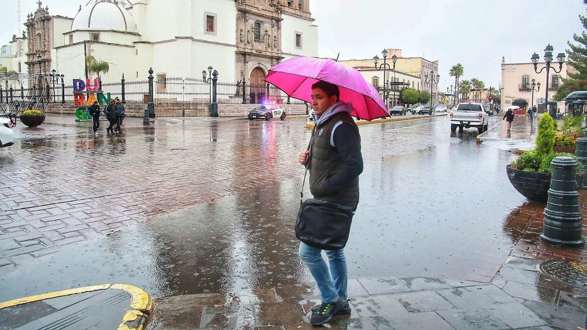
Risk of Strong Storms
The agency indicated that the heaviest rainfall in the state will occur between Wednesday and Thursday. During these days, the probability of strong to very strong storms will reach the city of Durango, where accumulated rainfall of up to 50 millimeters could be recorded.
Rain in the city of Durango
The Mexican monsoon, combined with an upper-level trough, will be the main driver of this rainfall. In addition, a low-pressure area with the potential for cyclonic development will move off the coast of Jalisco, favoring rain in the western part of the country. Meanwhile, frontal system number 1 will remain stationary in the northeast, generating winds of 40 to 60 km/h (25 to 37 mph) and a slight drop in temperatures in northern Mexico.
Extended forecast for the capital
In the city of Durango, a cool morning temperature start of between 14 and 15 degrees Celsius (57 and 59 degrees Fahrenheit) is expected, with highs of around 28 to 29 degrees Celsius (82 to 84 degrees Fahrenheit) at midday. For Wednesday and Thursday, in addition to the storms, wind gusts of up to 40 km/h (25 mph) are expected. On Friday, light, scattered rain showers will occur, with temperatures that could reach 31 degrees Celsius (88 degrees Fahrenheit).
Day-by-Day Details
Tuesday, September 2: Mostly cloudy skies with light to moderate rain in the capital.
Wednesday, September 3: Strong to very strong thunderstorms, with accumulated rainfall of 25 to 50 millimeters.
Thursday, September 4: Similar conditions, with a high risk of intense thunderstorms.
Friday, September 5: Isolated showers and reduced electrical activity in most of the state.
Civil Protection Recommendations
The Municipal Civil Protection Directorate reminds everyone that prevention is the best protection. The public is urged to keep drains clean, secure loose objects in yards and rooftops, avoid rivers and streams, protect documents in waterproof bags, and stay away from power lines and trees during storms.
State and municipal authorities recommend remaining alert to weather warnings and, in case of emergency, calling 911 or 072. The main recommendation for citizens is to exercise extreme caution this Wednesday and Thursday, when the peak of the rains is expected in the state.
Source: oem


